Jervis Bay
Jervis Bay

Just a short flight today, over the mountains and to the coast, to Jervis Bay.
Jervis Bay, or Booderee, Bay of Plenty (of Fish) as it was known by the Yuin people, has been inhabited for far longer than it has actually been a bay. Just after the last glaciation the bay was more of a river valley, a little ways from the sea. As the glaciers melted and the sea level rose this valley flooded, or drowned, making the valley a Ria, which is what you call a drowned river valley opening onto the sea. Now a Ria is ordinarily dendritic in shape, which means it is shaped kind of like a christmas tree. But some of the finest, whitest sand you will find anywhere has, over the years, formed a huge sand dune barrier to the south of the Ria. This southern peninsula has mostly encircled the bay creating a huge natural harbour, one of the deepest in Australia.
It was this fine harbour that came to the attention of the federalists around the turn of the last century. There were a few locations being considered as the location of the new capital of Australia, but they all had this in common: they were all going to be on land that New South Wales could do without, and that meant quite a ways inland. The new capital was going to be the first and only inland capital in the new country. And this presented a problem. A hundred and more years ago, airplanes were not a thing. But ships were. And ships need water.
New South Wales was not totally unresponsive to the problem. While others were arguing over the various locations for the new capital, in New South Wales' opinion, it was going to be located in the Yass-Canberra region. The closest bit of ocean with a decent harbour to Yass-Canberra was in fact Jervis Bay. And apart from a lighthouse and maybe a homestead farm there was nothing there. Perfect.
So NSW agreed to cede land for the Federal Capital Territory (later called the Australian Capital Territory) and as well twenty-eight square miles of permian sand dunes comprising the southern peninsula on Jervis Bay to the new federal government. They were also willing to entertain discussions about a rail link between the two, the winning site of Canberra being some seventy-four nautical miles away from its new harbour. The problem was that those seventy-four nautical miles were not in any way flat.
The Budawang Mountains are a rugged and beautiful spur of the Great Dividing Range. The mountains have such romantic names as Mount Bushwalker and Wog Wog Mountain, and can reach heights of over a thousand meters. Some of them have spectacular views, such as one called the Castle, which has a splendid view of the Tasman sea towards Jervis Bay. These mountains are about two thirds of the way from Canberra to Jervis Bay, somewhat in the way of any practical rail route.
Which brings us to steam engines. Tractive effort is one way to measure the power of a locomotive, and is of particular importance when considering how much weight the engine can pull up the ruling grade - the steepest climb on a given route. But it's not just a matter of making a more powerful steam engine to handle any grade. Steam engines run on water. Water likes to be level. All manner of what today would be considered arcane issues would plague a giant hot water tank that was lumbering up a grade of more than a few percent. The practical upshot is that there was never going to be a steam rail line between Canberra and Jervis Bay.
So the new federal government had a bit of a white elephant on its hands. What can one do with a port that is not easily accessible other than by sea? The solution turned out to be quite simple. The new country also had a new Navy. That new Navy needed a new maritime college to train sailors. Problem solved. The Navy was instructed to create their new college in the Jervis Bay Territory.
This did not please the Navy. There was nothing in Jervis Bay besides fish. All infrastructure had to be made alongside the new college. The cost was immense. Nonetheless, only four years after the site being chosen Captain's Point was mostly built and opened its doors in 1915. And then closed them fifteen years later.
The Great Depression was especially hard on the brand new country of the Commonwealth of Australia. Funding was being cut wherever it could be in an effort to keep the economy afloat, so to speak, and one area that was receiving its share of budget cuts was the Navy. And in particular its college. So the not-very-old maritime college closed its doors to sailor cadets and opened them to tourists. The Jervis Bay area was immensely popular with tourists. It had (and has) arguably the finest beaches anywhere and the fishing has always been excellent in the natural shelter of the harbour. So the Navy found itself playing host to the elite of the Post-Globalization Swing-Jazz After-Flappers-But-Before-Bobby-Sox set who were here to enjoy spectacular isolation.
By the mid 50s The country's, and its navy's, fortunes had improved. The Flinders Naval Depot which had taken over the duties of the naval college during the depression and the second world war was bursting at the seams. So the navy decided to move the college back to Captain's Point. In 1958 they dragged out the last of the tourists, who had become quite attached to the naval resort, rechristened it HMAS Creswell and were back in operation.
Today, the Jervis Bay Territory is home to 391 people. Most of them are employed by the Royal Australian Naval College at HMAS Creswell. Tourism is the other big industry, with well over 1,000 tourists per resident over the course of the year. And it's easy for tourists to get there now from Canberra. You take the train that skirts the mountains and ends up in Bundanoon a ways to the north. Then you rent a car and drive the rest of the way. Of course, you can always get there by sea. It is a port after all.
And that is the story behind today's stop, the little village of Jervis Bay.
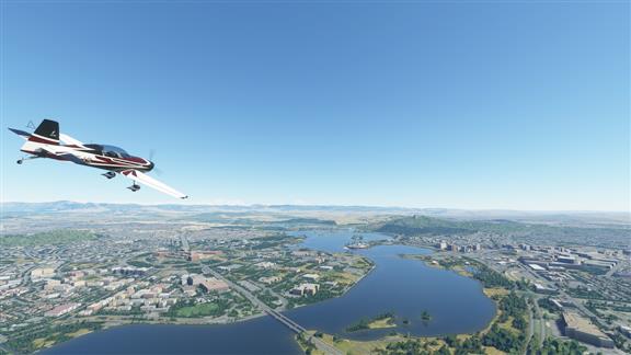
 Seriously, rush hour here must be epic.
|
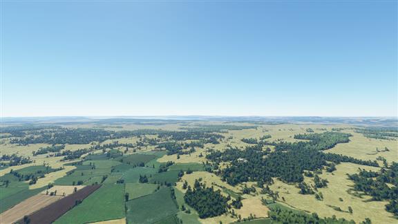
 Mostly smaller beef and sheep farms around Canberra.
|
 Now leaving the ACT and re-entering NSW, for those who care.
|
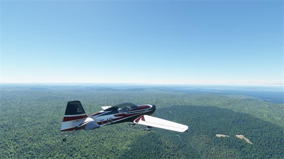
Somewhere near Nerriga, where the tablelands drop really fast down to sea level.
 |
 |
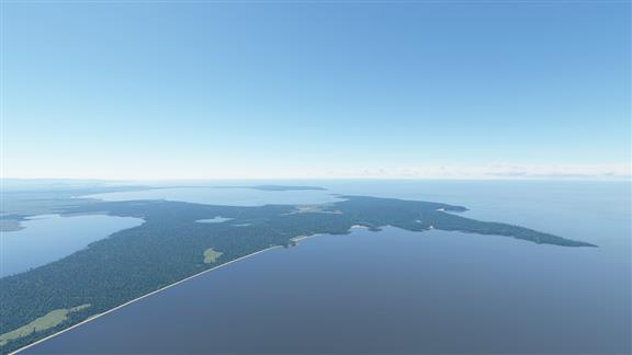
 Sussex Inlet, part of the city of Shoalhaven. This is the boundary for the Jervis Bay Territory.
|
 And this is essentially the entire territory. A 280 million year old sand dune.
|
 That's about all for today. Tomorrow we're into Victoria. Night.
|